
Zoji La is a high mountain pass which connects Kashmir with Ladakh. Different trade routes lead to Tibet, China and Central Asia.
In the 17th and 18th centuries, the road was only a track, impassable even with ponies. Goods, mainly pashmina wool, were carried by porters from Yarkand and Tibet for Kashmir shawl industry. By the 19th century, the route was improved, allowing pony caravans to pass.
The old Central Asian trade route Srinagar-Leh-Yarkand was also known as the Treaty Road, after a commercial treaty signed in 1870 between the Dogra Maharaja Ranbir Singh and Thomas Douglas Forsyth. In 1873, the Kashmir government allocated 2,500 rupees annually for upkeep of the Treaty Road.
The two main approaches to Ladakh from south of the Himalayas are from Srinagar and Manali. The merchants and pilgrims who made up the majority of travellers, traveled on foot or horseback, taking more than 16 days to reach Srinagar.
ZojiLa has a remarkable position with Kashmir on one side and Drass on the other side. Its old name Shur-ji-La (pronunced ZojiLa), also meant Lord Shiva’s mountain. Geographically, ZojiLa is very close to the Amar Nath Cave as well as to Kolahoi Peak.
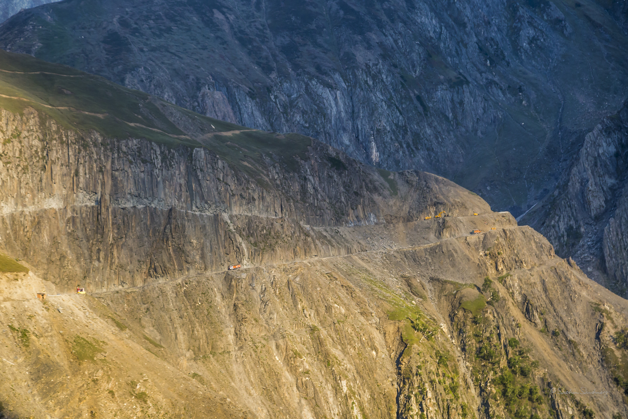
ZojiLa is a tough pass with very little room for error. The vertical drop of thousands of feet is amazing and very disorienting for some to even look over the edge.
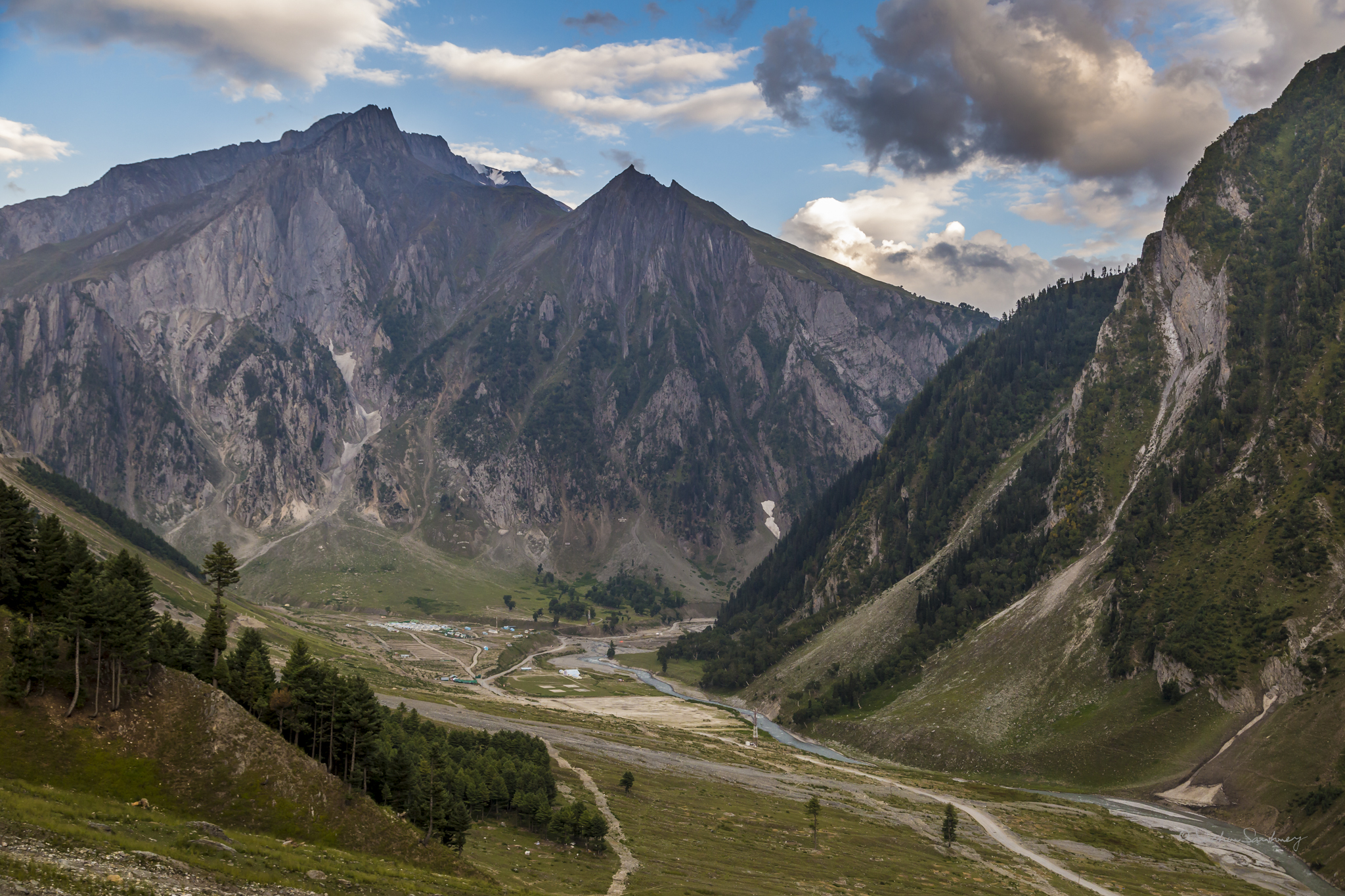
Below Zojila is the Sind River whose source is Machoi Glacier, just east of Amar Nath Cave. The Sind river below arrives at Baltal,which is also camping ground for pilgrams to Amarnath.
During the 1950s, tensions rose in Ladakh region. China secretly built a military road spanning some 1,200 km from Xinjiang to western Tibet, which was discovered by Indian in 1957 and confirmed by Chinese maps showing the road in 1958. The political situation eroded, culminating in 1962 in the Sino-Indian War.
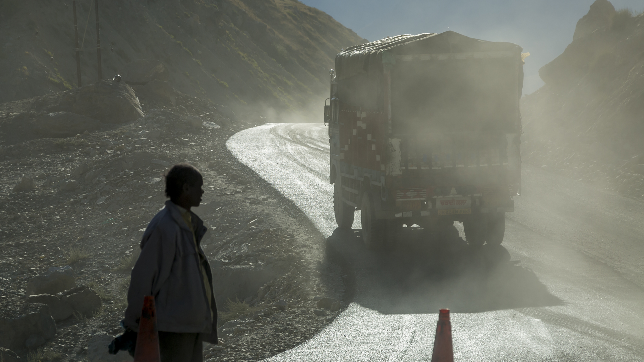
The road on the Chinese side gave PLA an advantage as a reliable supply line, giving the Indian Army the need to build a road for supply and mobilization of their own troops. The building started from Sringar in 1962, reaching Kargil in two years. This was the basis of modern Srinagar-Leh Highway. Building the road was hazardous task, given the challenging geographical location, and maintaining the road is still an unenviable task. Restrictions on civilian traffic were lifted in 1974.
This highway was used as mobilisation route by the Indian Army during the Kargil conflict with Pakistan in 1999, known as Operation Vijay.
Copyright notice
